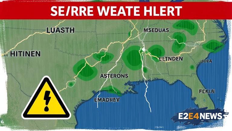
A powerful low-pressure system is currently moving into the region, bringing with it a significant chance of rain and thunderstorms. The system is expected to bring heavy rain and strong winds, with the potential for severe thunderstorms. The National Weather Service has issued a severe thunderstorm watch for the area, effective until tonight. Residents are advised to stay indoors and avoid travel unless absolutely necessary. The rain is expected to be heavy at times, with totals reaching up to 2 inches in some areas. The thunderstorms will be capable of producing large hail, damaging winds, and isolated tornadoes. The storms will be most active during the late evening and overnight hours, with the greatest risk of severe weather occurring between 10pm and 2am. The low-pressure system is expected to move out of the area by tomorrow morning, but not before bringing a significant amount of rain and thunderstorms. The rain will be welcome news for farmers and gardeners, who have been dealing with drought conditions for several weeks. However, the severe thunderstorms will pose a significant threat to life and property. Residents are advised to stay tuned to local news and weather reports for the latest updates and warnings. The storms will also bring a significant drop in temperature, with highs tomorrow expected to be in the mid-60s. The cooler air will be a welcome relief from the heat and humidity of the past few days. In preparation for the severe weather, residents are advised to charge their cell phones and other devices, and to have a plan in place in case of a power outage. The American Red Cross has also issued a list of safety tips for residents, including staying away from windows and doors, and avoiding travel during the storms. The severe weather is expected to have a significant impact on the region, with the potential for power outages, property damage, and disruptions to daily life. Residents are advised to be prepared and to stay safe during the storms.