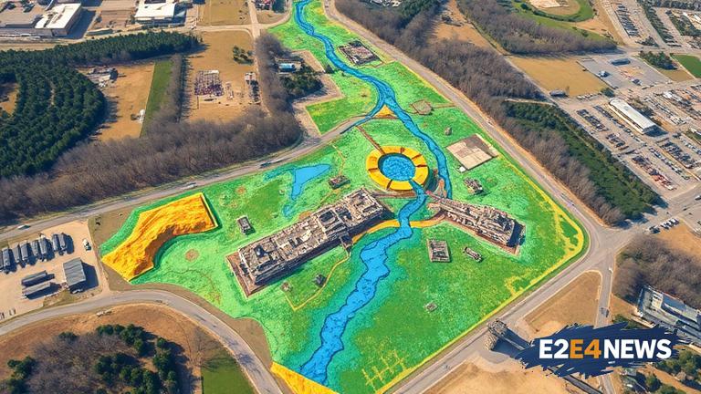
In a groundbreaking effort to better understand and manage its water resources, Kalamazoo County has launched an aerial survey to map its underground aquifers. The survey, which utilizes a helicopter equipped with a hexagonal frame, aims to gather detailed information about the county’s water resources. This innovative approach will provide valuable insights into the location, depth, and quality of the county’s underground water sources. The data collected will be used to create a comprehensive map of the county’s aquifers, which will be instrumental in informing decision-making related to water management and conservation. The aerial survey is a significant step forward in the county’s efforts to protect and preserve its water resources for future generations. By leveraging cutting-edge technology, the county is able to gather accurate and detailed information about its underground water sources, which will be essential in developing effective strategies for water management. The survey is being conducted by a team of experts who are using advanced equipment and techniques to gather data on the county’s aquifers. The hexagonal frame mounted on the helicopter is equipped with specialized sensors that are capable of detecting subtle changes in the earth’s magnetic field, which are indicative of underground water sources. The data collected by the sensors is then used to create a detailed map of the county’s aquifers, which will be used to identify areas of high water quality and potential sources of contamination. The aerial survey is a critical component of the county’s water management plan, which aims to ensure the long-term sustainability of its water resources. The plan includes a range of initiatives, such as water conservation measures, watershed protection, and education and outreach programs. The county is also working to develop partnerships with local stakeholders, including farmers, businesses, and residents, to promote water conservation and protect the county’s water resources. The aerial survey is a key part of this effort, as it will provide valuable insights into the county’s underground water sources and help to identify areas where conservation efforts can be targeted. The survey is also expected to have significant economic benefits, as it will help to identify areas with high-quality water sources that can be used for irrigation, drinking water, and other purposes. The county’s water management plan is designed to be flexible and adaptable, and the aerial survey will play a critical role in informing decision-making and ensuring that the plan is effective in achieving its goals. The survey is a significant investment in the county’s water resources, and it is expected to have long-term benefits for the environment, economy, and public health. The county’s efforts to protect and preserve its water resources are part of a broader effort to promote sustainability and environmental stewardship. The aerial survey is a key part of this effort, and it will help to ensure that the county’s water resources are managed in a way that is sustainable, equitable, and environmentally responsible. The survey is also expected to have significant benefits for the county’s agriculture industry, as it will help to identify areas with high-quality water sources that can be used for irrigation. The county’s farmers will be able to use the data collected by the survey to make informed decisions about their irrigation practices, which will help to reduce waste and promote water conservation. The aerial survey is a groundbreaking effort that is expected to have significant benefits for the county’s water resources, economy, and environment. It is a critical component of the county’s water management plan, and it will play a key role in informing decision-making and ensuring that the plan is effective in achieving its goals. The survey is a significant investment in the county’s water resources, and it is expected to have long-term benefits for the environment, economy, and public health. The county’s efforts to protect and preserve its water resources are part of a broader effort to promote sustainability and environmental stewardship, and the aerial survey is a key part of this effort.


