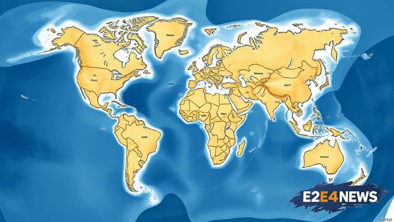
The Whale Atlas is a groundbreaking mapping tool designed to provide mariners with accurate and up-to-date information on whale migration patterns and habitats. This innovative tool is the result of a collaborative effort between marine biologists, data scientists, and maritime experts. The Whale Atlas uses a combination of satellite tracking, acoustic sensors, and historical data to create a comprehensive map of whale distributions across the globe. By utilizing this tool, mariners can adjust their routes and speeds to minimize the risk of whale-ship collisions, which can have devastating consequences for both humans and whales. The Whale Atlas is an easy-to-use platform that provides users with real-time data and alerts, enabling them to make informed decisions about their navigation. The tool is particularly useful for ships traveling through areas known to have high concentrations of whales, such as the Gulf of Mexico or the Mediterranean Sea. The Whale Atlas also takes into account various environmental factors, including ocean currents, sea temperature, and weather patterns, to provide a more accurate picture of whale habitats. Furthermore, the tool is constantly updated with new data and research, ensuring that users have access to the most recent information on whale migration patterns. The development of the Whale Atlas is a significant step forward in promoting safer and more sustainable maritime navigation. By reducing the risk of whale-ship collisions, the tool can help to protect not only whales but also other marine species that are affected by shipping activities. The Whale Atlas is also an important tool for conservation efforts, as it provides valuable insights into whale behavior and habitat use. Additionally, the tool can be used to identify areas that are critical for whale conservation and to develop effective management strategies. The Whale Atlas has the potential to make a significant impact on the maritime industry, and its adoption is expected to be widespread. The tool is already being used by several major shipping companies and is being integrated into various navigation systems. The Whale Atlas is a testament to the power of collaboration and innovation in addressing complex environmental challenges. The tool’s development is a result of a joint effort between governments, NGOs, and private companies, demonstrating the importance of partnerships in promoting sustainable development. The Whale Atlas is also an example of how technology can be used to support conservation efforts and promote environmental sustainability. The tool’s user-friendly interface and real-time data make it an essential resource for mariners, conservationists, and researchers alike. Overall, the Whale Atlas is a groundbreaking tool that has the potential to revolutionize maritime navigation and promote a more sustainable future for our oceans. The tool’s impact will be closely monitored, and its effectiveness will be evaluated through ongoing research and analysis. As the maritime industry continues to evolve, the Whale Atlas is likely to play an increasingly important role in promoting safer and more sustainable navigation practices. The tool’s development is a significant step forward in reducing the environmental impact of shipping activities, and its adoption is expected to have far-reaching consequences for the health of our oceans. The Whale Atlas is a powerful example of how innovation and collaboration can be used to address complex environmental challenges and promote a more sustainable future.
