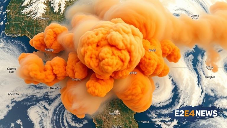
A groundbreaking innovation in satellite technology has enabled the mapping of wildfire smoke plumes in 3D, allowing for more accurate and localized air quality alerts. This development is crucial in providing timely warnings to communities affected by wildfires, which have become increasingly common and destructive in recent years. The new technology utilizes advanced satellite imaging to track the movement and density of smoke plumes, providing real-time data on air quality at a neighborhood scale. This information can be used to issue targeted alerts, enabling residents to take necessary precautions to protect their health. The system can also help firefighters and emergency responders to better understand the spread of wildfires and plan their response accordingly. By leveraging satellite data, the technology can cover vast areas, including remote and hard-to-reach regions, where traditional air quality monitoring systems may not be feasible. The 3D mapping capability allows for a more detailed understanding of smoke plume behavior, taking into account factors such as wind direction, temperature, and humidity. This can help identify areas of high risk and enable more effective mitigation strategies. Furthermore, the technology has the potential to be integrated with existing air quality monitoring systems, enhancing their accuracy and effectiveness. The development of this technology is a significant step forward in the fight against the devastating effects of wildfires, which have severe consequences for both human health and the environment. Wildfires can release large amounts of toxic pollutants into the air, including particulate matter, carbon monoxide, and volatile organic compounds, which can cause respiratory problems, cardiovascular disease, and other health issues. The ability to map smoke plumes in 3D can also help researchers to better understand the dynamics of wildfires and develop more effective strategies for prevention and mitigation. In addition, the technology can be used to study the impact of wildfires on local ecosystems and wildlife, providing valuable insights for conservation efforts. The innovation has far-reaching implications, not only for communities affected by wildfires but also for the environment as a whole. As the technology continues to evolve, it is likely to play an increasingly important role in the management of wildfires and the protection of public health. The use of satellite technology to map wildfire smoke plumes in 3D is a testament to the power of innovation in addressing complex environmental challenges. By harnessing the capabilities of satellite imaging, scientists and emergency responders can work together to create a safer, more resilient future for communities around the world.