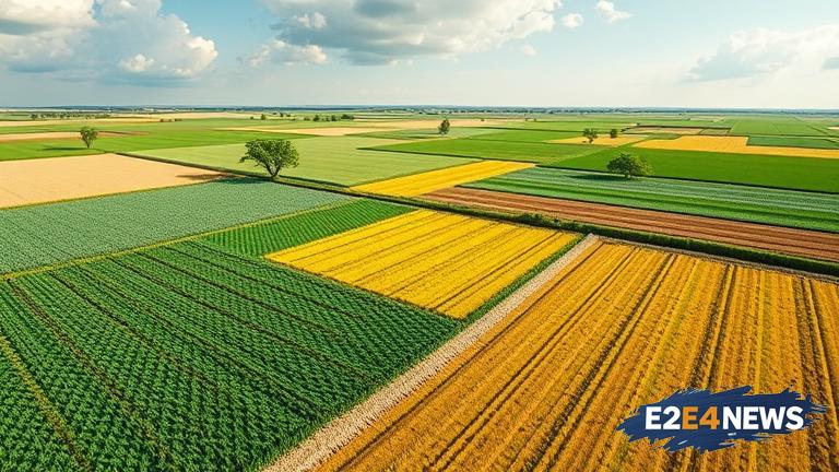
A new era in farm planning has dawned, thanks to the advent of 3D imagery technology. This innovative approach is akin to MRI scans, offering landowners a comprehensive and detailed view of their properties. By leveraging 3D imagery, farmers can make informed decisions about their land use, identifying areas of high conservation value and optimizing their agricultural practices. The technology has been likened to MRI scans, which provide detailed images of the human body, allowing doctors to diagnose and treat medical conditions. Similarly, 3D imagery technology enables landowners to visualize their properties in exquisite detail, revealing subtle variations in terrain, soil quality, and vegetation. This information is invaluable for farm planning, as it allows landowners to pinpoint areas that require attention, such as erosion-prone zones or regions with poor soil health. By targeting these areas, farmers can implement targeted interventions, reducing soil erosion, improving water quality, and boosting biodiversity. The technology is also useful for monitoring crop health, detecting early signs of stress or disease, and optimizing irrigation systems. Furthermore, 3D imagery can help landowners identify opportunities for sustainable land use, such as reforestation or the creation of wildlife corridors. The use of 3D imagery technology is not limited to farm planning; it also has applications in environmental monitoring, natural resource management, and urban planning. As the technology continues to evolve, it is likely to play an increasingly important role in shaping the future of agriculture and land use. In addition to its practical applications, 3D imagery technology also has the potential to promote sustainable land use practices, reducing the environmental impact of farming and contributing to a more resilient food system. The adoption of this technology is expected to have far-reaching consequences, transforming the way landowners interact with their properties and make decisions about land use. As the world grapples with the challenges of climate change, food security, and environmental degradation, the use of 3D imagery technology offers a beacon of hope, providing a powerful tool for sustainable land use and farm planning. With its ability to provide detailed, accurate, and actionable insights, 3D imagery technology is poised to revolutionize the agricultural sector, enabling landowners to make informed decisions and optimize their farm planning strategies. The technology has already been successfully deployed in various parts of the world, including Australia, where it has been used to improve farm productivity, reduce environmental degradation, and promote sustainable land use practices. As the technology continues to spread, it is likely to have a profound impact on the way landowners approach farm planning, promoting a more sustainable, resilient, and productive food system.